
Galip Ceylani Olcayto
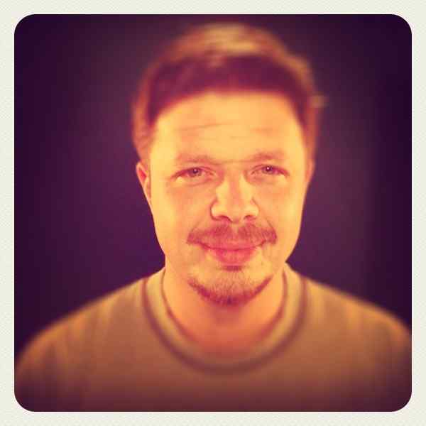
Biyografi
1980 yılında İstanbul’da doğan sanatçı MSGSÜ Fotoğraf Bölümünde 2009 yılında Fotoğraf Bölümünde eğitimine başladı. Mezun olduktan sonra yüksek öğrenimine devam etti. 2014-2019 yılında Fotoğraf Bölümü Yüksek Lisans Programına katıldı ve tamamladı.
O zamandan beri İstanbul'da ve yurt dışındaki çeşitli projelerde profesyonel ve sanatsal çalışmalarına devam etmekte. Çoğunlukla hava fotoğrafı, mimari fotoğraf ve tanıtım fotoğrafı alanlarında üretim yapmaktadır..
Biography
Born in Istanbul in 1980, the artist began studying Photography at the Photography Department of Mimar Sinan Fine Arts University in 2009. After graduating, he continued his higher education and attended the Master’s Program in the Photography Department between 2014 and 2019, successfully completing it. Since then, he has continued working on various projects both in Istanbul and abroad. His projects are mainly based on aerial photography, architectural photography, and advertisement photography.
Koruganlar
Proje sanatçının Tekirdağ yolu üzerinde karşılaştığı ve zamanla dikkatini çeken askerî yapılar üzerine geliştirdiği bir araştırma ve görsel belgeleme çalışmasıdır. Günümüzde büyük ölçüde unutulmuş olan bu koruganlar, şehirleşme ve tarım alanları arasında görünmez hâle gelmiş, işlevlerini kaybetmiş yapılar olarak varlıklarını sürdürmektedir. Sanatçı, bu yapıların tarihsel öneminin yanı sıra doğayla kurdukları ilişkiye ve zaman içinde çevreleriyle bütünleşmelerine odaklanmaktadır.
Koruganlar, İkinci Dünya Savaşı öncesinde Balkanlardan gelebilecek olası saldırılara karşı Trakya bölgesinde savunma amacıyla inşa edilmiştir. Betonarme ve çelikten yapılan bu yapılar, doğal kamuflaj sağlayacak şekilde araziye yerleştirilmiş, büyük ölçüde toprağın altına gizlenmiştir. Dönemin savunma stratejisinin önemli parçaları olan koruganlar, bugün ise çoğunlukla terk edilmiş, yıkılmış ya da farklı amaçlarla kullanılmaya başlanmıştır. Sanatçı, bu yapıları yalnızca belgelemek yerine, drone teknolojisinin sunduğu kuşbakışı perspektifle yeniden yorumlamayı amaçlamıştır. Yukarıdan bakıldığında tarlalar, yollar ve doğal alanlar geometrik kompozisyonlara dönüşürken, koruganlar bu manzaranın gizemli parçaları olarak öne çıkmaktadır. Özellikle sabah saatlerinde ortaya çıkan ışık ve renkler, görüntülere resimsel bir atmosfer kazandırmaktadır.
Proje sürecinde sanatçı, koruganları bulmak ve görüntülemek için bölgeye defalarca gitmiş, ulaşılması zor alanlarda çalışmıştır. Sabit konum bilgilerinin bulunmaması ve yapıların iyi kamufle edilmiş olması, süreci aynı zamanda bir keşif deneyimine dönüştürmüştür. Drone kullanımı, ulaşılması güç noktalara yaklaşmayı mümkün kılmış ve çevreyi farklı bir algıyla gözlemleme fırsatı sunmuştur.
Proje, aynı zamanda drone teknolojisinin fotoğraf sanatındaki etkisini de ele almaktadır. Drone, insan gözünün alışık olmadığı açıları görünür kılarak mekân algısını değiştirir; çizgileri, sınırları ve kompozisyonları daha belirgin hâle getirir. Sanatçıya göre bu teknoloji, yalnızca yeni bir teknik araç değil, aynı zamanda dünyayı yeniden görmeyi sağlayan çağdaş bir ifade biçimidir. Koruganlar projesi de bu bakış açısıyla, unutulmuş askerî yapıları tarih, doğa ve perspektif arasında yeniden düşünmeye davet eden görsel bir anlatı sunmaktadır.
Bunkers
The Bunkers project is a research and visual documentation study developed around military structures that attracted the artist’s attention along the Tekirdağ road. Today, these bunkers have largely been forgotten, becoming almost invisible among expanding urban areas and agricultural fields while continuing to exist as abandoned structures that have lost their original function. The artist focuses not only on their historical significance, but also on the relationship they have established with nature and the way they have gradually merged into their surroundings over time.
The bunkers were constructed in the Thrace region before World War II as part of a defensive line against possible attacks from the Balkans. Built from reinforced concrete and steel, these structures were positioned in harmony with the terrain to provide natural camouflage, with large sections hidden underground. Once important elements of the period’s military defense strategy, many of these structures are now abandoned, damaged, or repurposed for different uses.
Rather than simply documenting them, the artist reinterprets these structures through the aerial perspective offered by drone technology. Seen from above, fields, roads, and natural landscapes transform into geometric compositions, while the bunkers emerge as mysterious elements within the scenery. Especially during the early morning hours, the changing light and colors create an almost painterly atmosphere.
Throughout the project, the artist repeatedly traveled to the region in search of the bunkers, often working in difficult-to-access areas. The absence of precise location information and the structures’ highly effective camouflage turned the process into an act of exploration itself. The use of drones made it possible to approach otherwise unreachable locations and offered a new way of perceiving the environment.
The project also reflects on the impact of drone technology on photography. By revealing angles unfamiliar to the human eye, drones transform spatial perception and make lines, borders, and compositions more visible. For the artist, drone technology is not only a technical tool but also a contemporary means of expression that allows the world to be seen anew. In this sense, Bunkers presents a visual narrative that invites viewers to reconsider forgotten military structures through the intersection of history, nature, and perspective.